
Lake Atitlán
Sololá, Guatemala


Ecovoyager Experiences
Lake Atitlán Tours
Handcrafted expeditions into the remote corners of Lake Atitlán — led by local experts, designed for the curious traveller.
Experience Lake Atitlán, Your Way
Skip the standard itineraries. We design journeys around your interests, timeline, and curiosity with exclusive access you won't find on any platform.


Things to Do in Lake Atitlán
Starting points for your perfect trip
Santiago Atitlán: Maximón and Tz'utujil
Santiago Atitlán, the largest Tz'utujil Maya town, is home to Maximón, a syncretic deity blending Maya religion and Catholic imagery, whose effigy moves each Semana Santa. Santiago holds a distinct weaving tradition including ribbon headdresses nearly ten meters long. EcoVoyager uses local guides.
San Juan La Laguna
San Juan La Laguna is Guatemala's natural-dye textile center. Women's cooperatives use backstrap looms with hand-spun cotton dyed with indigo, cochineal, marigold, and bark. EcoVoyager arranges visits outside market hours, including workshops from raw cotton to finished fabric with direct purchasing
Volcán San Pedro and Indian's Nose
Two hikes define the volcanic landscape. Volcán San Pedro (2,995m) is a 4–5 hour ascent with lake-wide views to the Pacific. Indian's Nose (~2,170m) is a 2–3 hour hike to one of Guatemala's most photographed sunrise viewpoints. EcoVoyager uses guides from the communities the trails pass through.
Lancha Life: Moving Between Twelve Villages by Water
No road circles Lake Atitlán—all 12 communities are connected by lancha only. EcoVoyager uses private lanchas with captains who know the xocomil wind patterns, keeping crossings to calm morning hours. The view from the water—three volcanoes reflected in the lake—is Atitlán's defining image.
San Marcos La Laguna
San Marcos has the lake's clearest swimming water, natural rock cliffs for jumping, and yoga retreats accessible only by boat or footpath. For travelers wanting a quiet counterweight to cultural programming, San Marcos offers a distinct pace from Panajachel's commercial center.
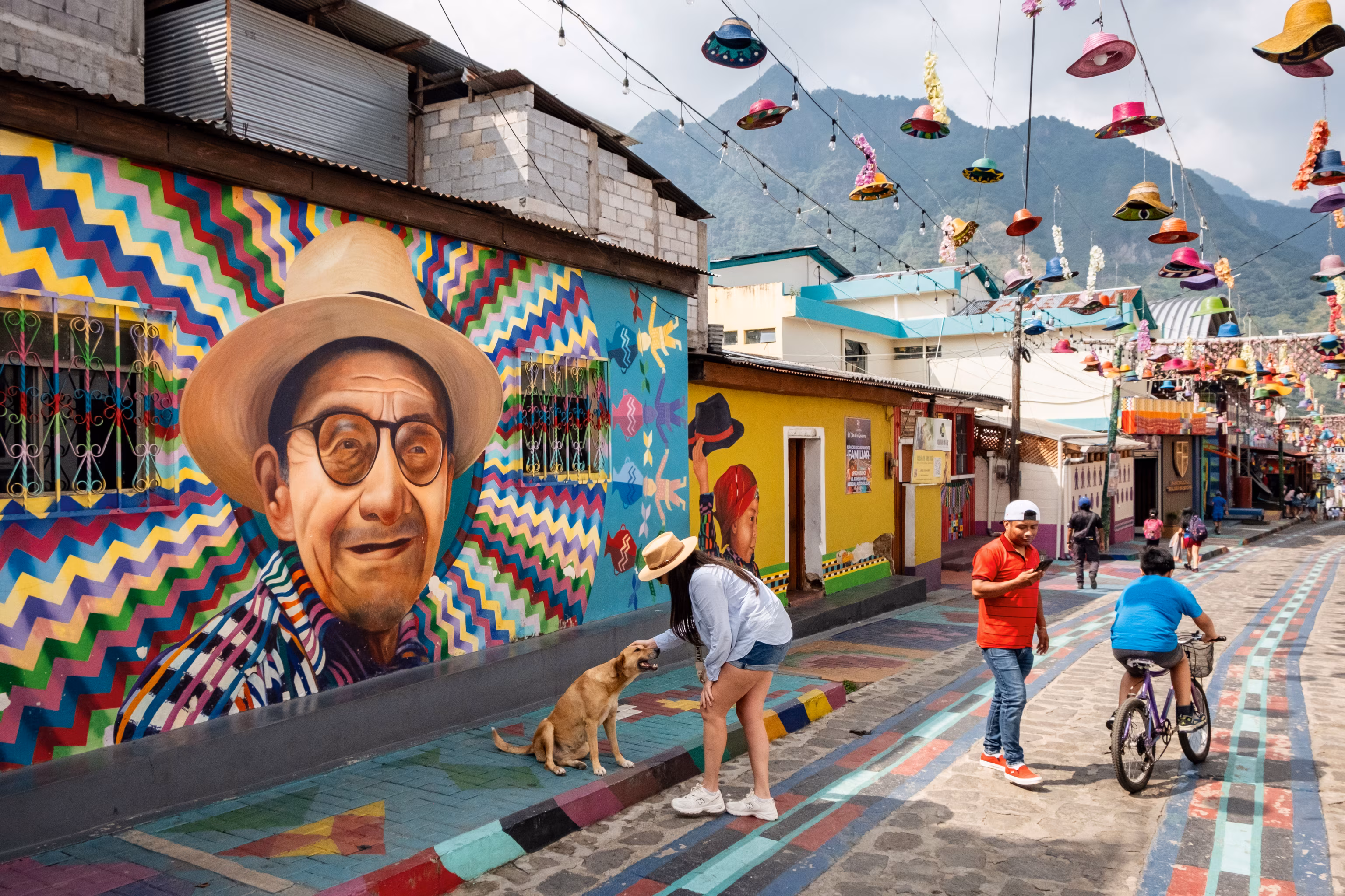
Santa Catarina Palopó
Santa Catarina Palopó's community mural project painted nearly every building in Kaqchikel textile patterns since 2017. The village is small, receives few tourists, and maintains active weaving. Painted rooftops against Volcán Atitlán make one of the lake's best photographic compositions.
Design Your Custom Trip
Tell us about your dream adventure. Our travel specialists respond within 24 hours with a personalised itinerary.

Stories from Lake Atitlán
A Caldera at 1,562 Meters: The Geology of Lake Atitlán
Lake Atitlán fills a volcanic caldera created by the Los Chocoyos eruption approximately 85,000 years ago—one of the largest volcanic events in the geological record of the Americas. The eruption ejected enough ash to leave a detectable layer in sediment cores from the Gulf of Mexico and as far north as Florida. The caldera slowly filled with water, creating a lake at 1,562 meters above sea level. Three post-caldera stratovolcanoes grew inside and on the rim: Volcán San Pedro (2,995m) on the western shore—extinct for ~40,000 years; Volcán Tolimán (3,158m) on the southern rim—active but without a recorded eruption; and Volcán Atitlán (3,537m)—still active, last significant eruption 1853.
The lake is the deepest in Central America at 340 meters and has no surface outlet—water escapes only through underground caldera fissures. A magnitude 7.5 earthquake in February 1976 cracked the lake bed and caused the water level to drop two meters in one month. The lake’s extraordinary blue color and mirror-like quality made German explorer Alexander von Humboldt describe it as “the most beautiful lake in the world,” and Aldous Huxley wrote that Atitlán is “Lake Como with additional embellishments of several immense volcanoes.”
Explore More
Other Guatemala Destinations
Explore more destinations across Guatemala.
Monterrico & Pacific Coast
Monterrico is a fishing village on Guatemala's Pacific coast, on black volcanic sand separated from the mainland by the Canal...
ExploreLaguna Lachua National Park
Laguna Lachuá is a nearly perfectly circular karstic lake at the center of a 14,500-hectare tropical rainforest park in Alta...
ExploreQuetzaltenango
Quetzaltenango—Xela—sits at 2,330 m (7,640 ft) in western Guatemala's highland valley, ringed by volcanic peaks. Guatemala's second largest city, 61%...
ExploreRio Dulce & Livingston
Río Dulce is a 43 km river flowing east from Lake Izabal—Guatemala's largest lake—through the Boquerón Canyon to the Caribbean...
ExploreSierra de las Minas Biosphere Reserve
Sierra de las Minas is a 130 km mountain range in central-eastern Guatemala, designated a UNESCO Biosphere Reserve in 1990...
ExploreChichicastenango
Chichicastenango—Chichi to everyone who visits—is a K'iche' Maya highland town at 6,447 feet in the El Quiché department of Guatemala....
ExploreEl Mirador
El Mirador is a Preclassic Maya city buried in the jungle of northern Petén, near the Mexican border. Occupied from...
ExploreSemuc Champey
Semuc Champey is a 300-meter natural limestone bridge in the Alta Verapaz jungle, over which the Cahabón River deposits a...
ExploreAcatenango & Fuego Volcanoes
Acatenango (3,976m) and Fuego (3,763m) form La Horqueta—a twin-volcano massif in the Sierra Madre, 29 km west of Antigua. Acatenango...
ExploreAntigua Guatemala
Founded in 1543 as Santiago de los Caballeros, Antigua served as capital of the Captaincy-General of Guatemala—governing all of Central...
ExploreTikal National Park
Rising above the largest tropical forest north of the Amazon, Tikal's temple-pyramids—the tallest at 65 meters—broke through the jungle canopy...
Explore